
Put your message on the right mail route
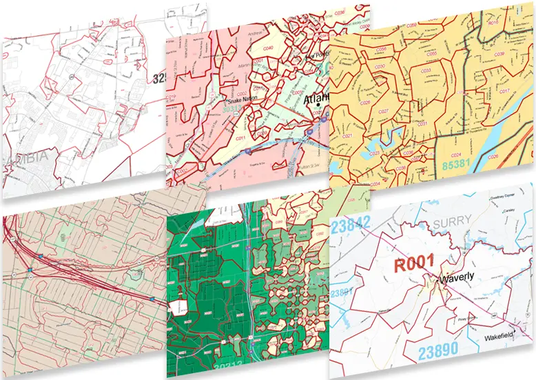
Explore carrier route maps built for direct mail. Every USPS delivery route is shown with its boundaries, route codes and the demographics you need to target neighborhood by neighborhood.
-

Neighborhood Mailings
Pick the exact neighborhoods you want to reach. City carrier routes are outlined and labeled, so you can plan Every Door Direct Mail drops one route at a time.
-

Single Carrier Route Maps
Zoom in on one route. A single-route map shows one carrier's full delivery area, including the towns, roads and ZIP boundaries around it. It's ideal for rural mail campaigns.
-
ZIP Code Carrier Route Maps
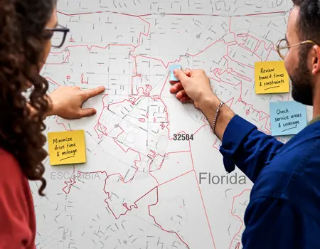
See every carrier route inside a ZIP code. The Redline edition shows route boundaries in red over a clean street base, which makes mail drop planning easy to read.
-
Radius & Trade Area Mapping
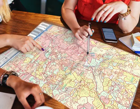
Draw a radius around your store or office and see every carrier route inside it. Focus your mail on the customers most likely to walk through your door.
-
Street Level Route Detail
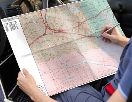
Carrier routes laid over detailed streets, highways and neighboring ZIP codes. Built for delivery teams, field reps and anyone who needs to know exactly where a route begins and ends.
-

Carrier Route Demographics
Shade every route by population, income or any of more than 20,000 demographic variables. You'll see at a glance where your best prospects live before you spend on postage.
Carrier Route Maps FAQ
What is a carrier route?
A carrier route is the set of addresses served by a single USPS mail carrier. It's the most precise geography you can use to target a mailing.
What do codes like C001 and R001 mean?
The letter shows the route type: C is city, R is rural, H is highway contract, B is PO box and G is general delivery. The number identifies the route within its ZIP code.
Can you map the carrier routes for any ZIP code?
Yes. We create carrier route maps for ZIP codes across the U.S., from a single route to an entire metro area.
Can I add demographics to a carrier route map?
Yes. Routes can be color-shaded by population, household income, age and many other variables, so you can see at a glance where your best prospects live.
Can you center a map on my business location?
Yes. We can build a map around a radius or drive-time area from your store, office or service location, with every route inside it labeled.
What sizes and formats are available?
Carrier route maps come in sizes from letter (8.5×11) up to large wall maps like 24×36 and 48×36. They're available as printed, laminated or digital files.
Can you add my customers, stores or competitors?
Yes. We can plot addresses, territories and points of interest right on the map. Contact us and speak with a Map Specialist. They will make sure you get the map tailored to your needs.