
Mason County, WA ZIP Code Wall Map
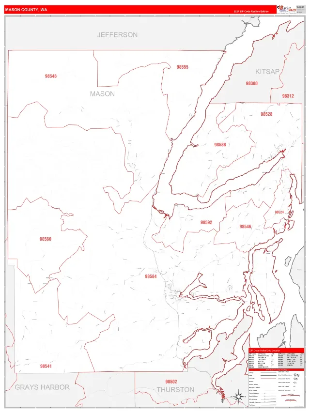
RedLine
Other Base Map Styles
-
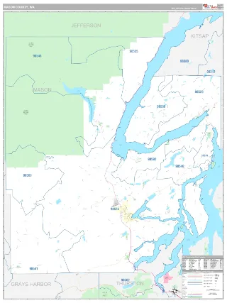
Classic
- A traditional wall map that is great for both décor and reference
- Attractive display with abundant information
- Populated Areas color shaded for easy identification
- Many points of interest, including bodies of water, parks, airports, and more
-
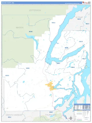
Business Reference
- Business tool for displaying data, locations, service areas, territories
- Great for business presentations and analytics
- Conventional colors with effective map detail.
- Includes parks, lakes, rivers and other detail
-
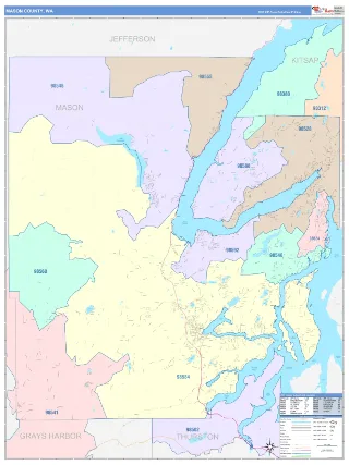
ColorCast
- Use for territory design, delivery planning and direct mail
- Multi-color shading of adjacent ZIP Codes with different colors
- Quickly and easily distinguish one ZIP Code from another
-
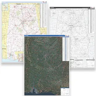
Additional Styles
We offer a large variety of base map styles to suit your every need.
Call us for more options
Need something different on the map?
Our Map Specialists will help you make the map you need.
Give us a call!
2026 ZIP Code Edition Receive your map as fast as Next Day
$125
Standard Delivery - Free shippingNeed something different on the map?
Our Map Specialists will help you make the map you need.
Give us a call!
County ZIP Code Wall Maps FAQ
What are the differences between the base map styles?
Business Reference uses conventional colors with typical map detail, plus parks and water labels — a solid, straightforward option for business presentations. Classic adds shading on populated areas and full points of interest (water, parks, airports, and more), making it the most attractive and detail-rich option for reference, decoration, and market analysis. Red Line keeps a clean white background with bright red zip code labels and boundaries, built for overlaying your own data — demographics, sales, customer and competitor locations, territories. Color Cast shades each zip code its own color so you can visually distinguish one area from another at a glance, ideal for territory design, delivery planning, and direct mail. We also offer additional styles beyond these four — call 1-888-434-6277 to discuss more options.
Can I write on the map?
Yes. All ZIPCodeMAPS maps are all protected with 3mm hot lamination, so dry-erase markers wipe off cleanly.
How current is the map data?
This is the 2026 edition. ZIPCodeMAPS maps are updated yearly to reflect current roads, boundaries, and zip codes.
How fast will my map ship?
Map orders ship as fast as next business day. Free Shipping included for standard delivery.
Can I add my own locations or territories to the map?
Yes! We have thousands of options to custom design a State Map exactly the way you want it. Contact us and speak with a Map Specialist. They will make sure you get the map tailored to your needs. You can add company branding, sales territories, office locations, customer data, service areas, color-coded regions, or other geographic information to create a map tailored to your organization. Custom State Maps are ideal for planning, reporting, and presentations.
Are your County Maps available in different sizes?
ZIPCodeMAPS maps are offered from 2x3 feet to 9x12 feet and larger. Map Murals cover an entire wall. Larger Wall Maps make it easier to view counties, highways, and city names from across a room, while smaller sizes are perfect for individual offices.
What's your return policy?
Full details are on our Return Policy page; reach out to Customer Service if a map arrives damaged or isn't what you expected.