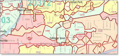
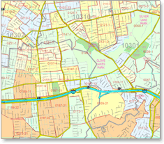
Demographic Mapping Data
The Best Demographic Mapping Data Available
*Updated Annually
*Available for use with ESRI, MapInfo and other mapping software
*Compatible with TIGER, NAVTEQ, and TeleAtlas street/road data
*Demos are sent as .csv files.
What Demographic Mapping Data can you get:
*Thousands of parameters, including income, age, household data, ...
...consumer spending, retail potential, segmentation, and more!
*ZIP Code, Carrier Route, Census Tract, County, Block Group and State
*Choose National, State Bundle, State, County Bundle, County, Custom
*Choose Database Formats


Receive your mapping Data as fast as the same day!
Call or Contact us here. Today!
1.888.434.MAPS


