GbBIS MapData 7.0 Standard Edition
GbBIS MapData 7.0 Standard Edition is a compilation of the most recent
Census TIGER releases enhanced with a comprehensive set of
data layers. The result is a highly improved version suitable for
a wide range of applications.
Sample Images
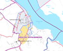
These images represent only a few of the many layers, features and datasets included in GbBIS MapData 7.0 Standard Edition.
See the full detailed layer list for all of the layers and datasets
Oklahoma County Map

Richmond County Map

New York Map

Fulton County Map

Beaufort County Map

 Other Information:


